Oxford Osprey Dataset
Share
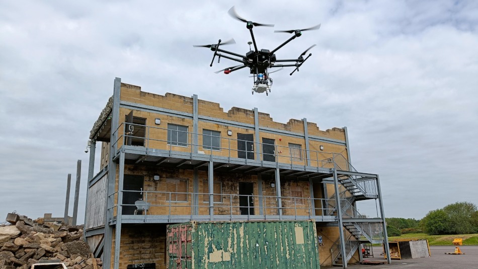
We've made the data collected as part of our T-FR journal paper, Osprey: Multi-session autonomous aerial mapping with LiDAR-based SLAM and next best view planning, publicly available as the Oxford Osprey Dataset. The dataset contains LiDAR, IMU, and colour camera data from the DJI M600 drone and survey-grade LiDAR data from a Leica BLK360 at three sites at the Fire Service College in Moreton-in-Marsh, Gloucestershire, UK.
You can find out more details and access the data on the DRS group website. Please cite the T-FR paper if you use the data.
Bibliography
- Title
- Osprey: Multi-session autonomous aerial mapping with LiDAR-based SLAM and next best view planning
- Publication
- Journal
- IEEE Transactions on Field Robotics (T-FR)
- Volume
- 1
- Pages
- 113–130
- Date